
A look into the appeal of historic maps which were often part of the decor of houses in years past.
15/04/2024 Books & Maps, Fine Art
The recent Cheffins Library sale contained a wide array of attractive printed maps dating from the 17th to the 20th centuries. Framed maps were often part of the décor of houses in years past, and for centuries, large old atlases used to be chopped up for the maps they contained. These were often then coloured in and mounted for framing or collectors’ cases. Today, fortunately, the really lovely early atlases are left in tact, and they are appreciated as books complete with their map contents.
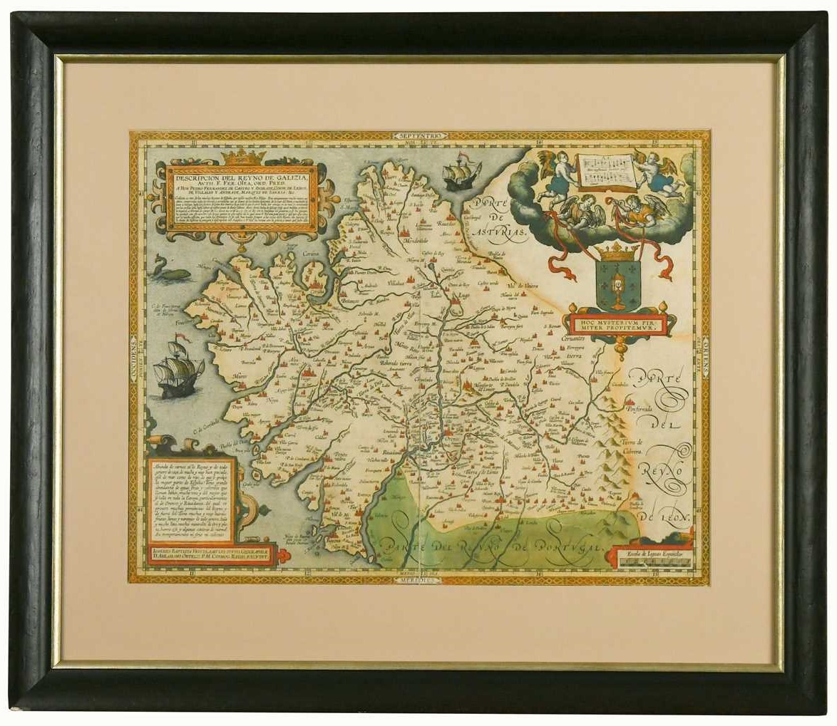
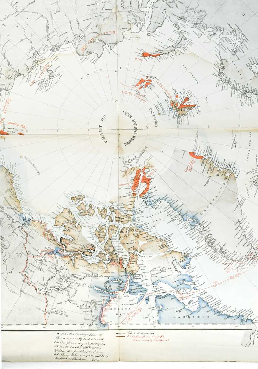
Some notable maps in the sale included a 1645 map by Blaeu of Great Britain selling for £800, and a map of Galicia (Spain) dating to 1612, making £500. However, the star of the show was a map of the North Pole dating to the 1870s which had been annotated in ink by John Rae (1813-1893), the explorer and surgeon. He had carefully marked his tracks and routes with dates on the map, which measured 86 x 69cm.

A map of the North Pole, annotated in ink by explorer and surgeon John Rae (1813-1893) which achieved £8,000 at Cheffins' Library Sale.
Rae was second in command of Sir John Richardson's party, sent to search for the lost Sir John Franklin expedition in 1848. The Rae Strait at King William Land is named after him. It was the final piece of the jigsaw in discovering a North-West Passage. Rae completed four Arctic exploration voyages, and mapped much of the Arctic coastlines on foot or by boat. Lady Franklin did not accept the circumstances of the aftermath of her husband's doomed voyage, and campaigned against Rae, damaging his public reputation for years to come.
The existence of this map was entirely a surprise to the family who owned it, as was the auction sale price of £8,000. An ancestor of the vendor who had owned the map had worked in Canada in 1879 in the same Hudson Bay area as Rae, both in the Agricultural field, and this is believed to be how the map came into the family’s possession. Charles Ashton, Director and Head of Cheffins Fine Art Division, comments: “This map was a rare discovery, and provides a wonderful slice of history. Maps continue to capture the imagination and appreciation of an array of collectors.”